If at first you don’t succeed, try again – as soon as possible. After deciding the day before, against a questionable flight which might have been scuppered by rain clouds thinking about coming north from Oxford. Some cancellations allowed me to re-book for 2pm, very next day.
On the day of the lesson, the phone rang very early, I wasn’t even planned up for the wind forecast. It was the aero club asking how soon could I be down there, as a trial lesson cancellation meant we could now go sooner, which would mean there’d be time for some lunch at the destination 🙂
Arrival : Gusting wind.
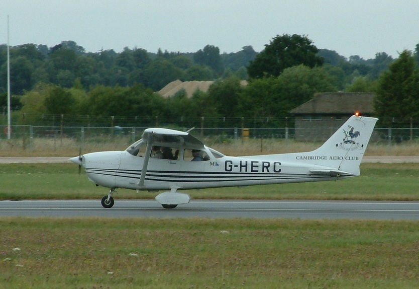
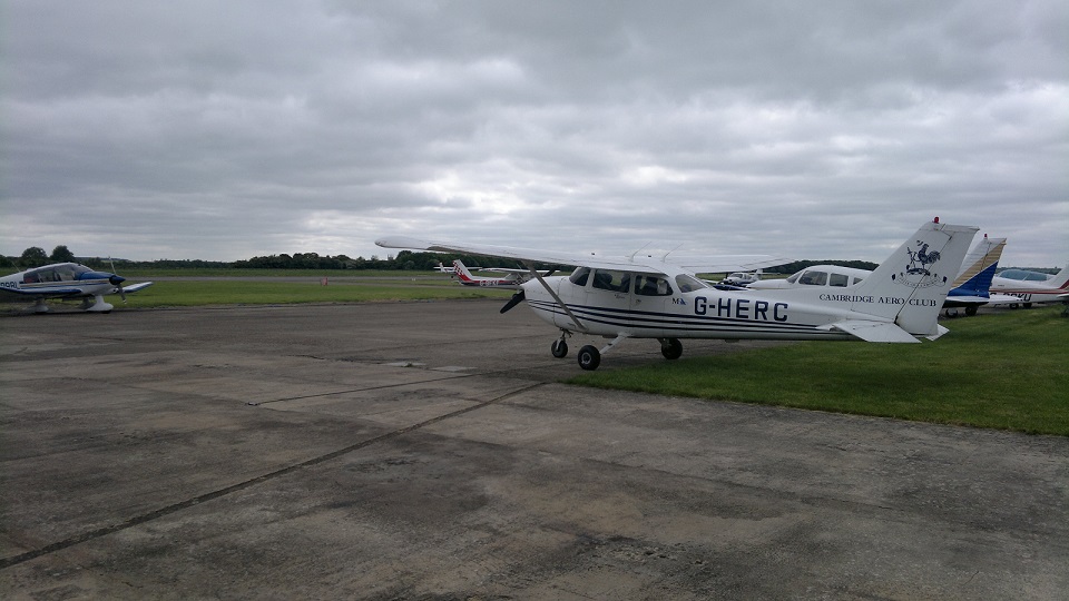
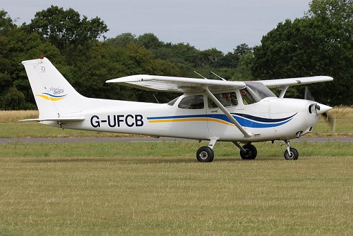
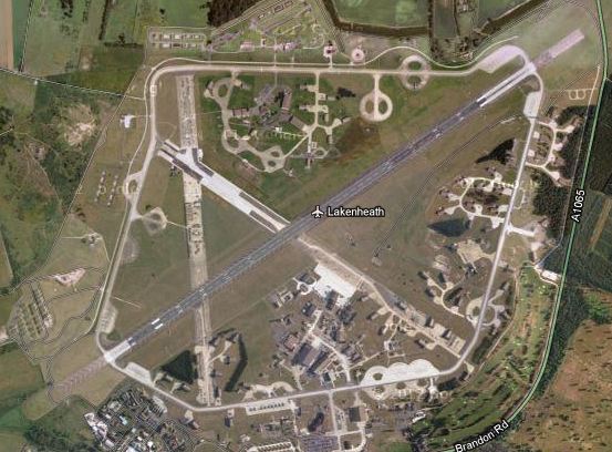
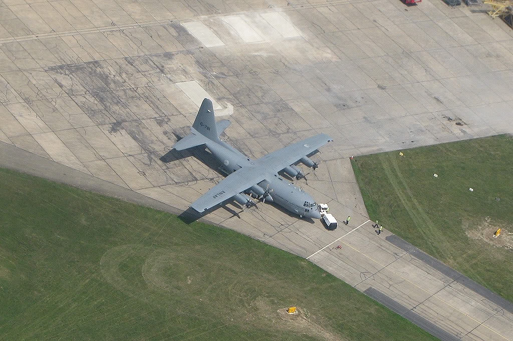
G-HERC (Golf Hotel Echo Romeo Charlie)
Although all the other weather factors were looking good, the wind was gusting up to 20 and thinking about pushing 25 knots. Thankfully for now most of this was straight down the runway, fine for getting out of Cambridge, but it might be a problem getting back in.
A quick phone call to Sywell, not before announcing which plane I wanted to all around, to get Prior Permission to land there revealed they had similar surface winds (270/19, gusting 30!!). Cracking out the flight computer, the numbers looked very questionable to go, at best there was a 12 knot crosswind component, at worst it was 20 knots – outside of a students limits. This didn’t seem to phase my instructor, worst case he’d land it and we’d still have flown the circuit at Sywell so that would tick the box. Fair enough, but I’d quite like to land it.
The wind was causing all around me to decide otherwise and call it a day, but we were on.
With 35 knot winds @ 2,000ft, it might be slow getting there, but it would be a rocket ship getting back.
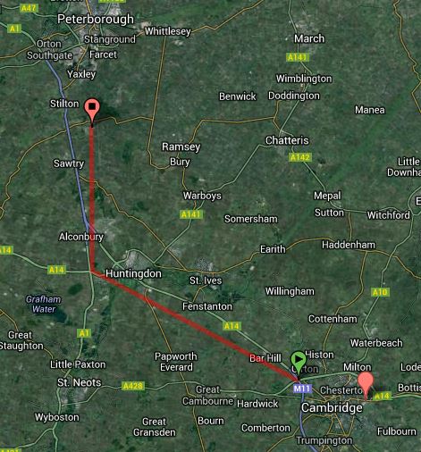
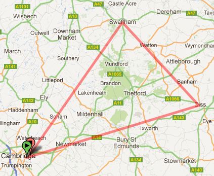
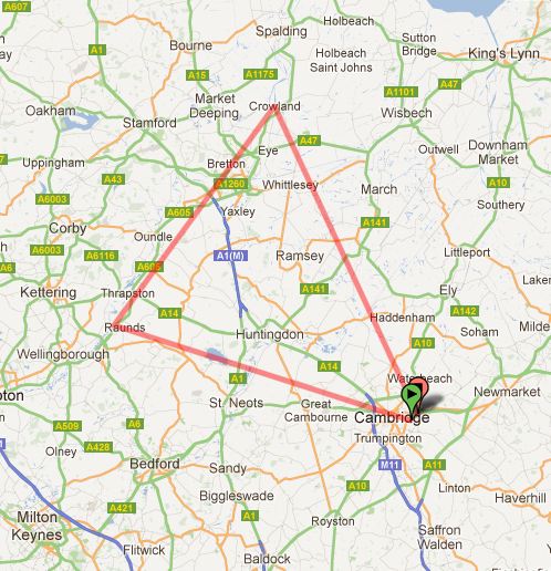
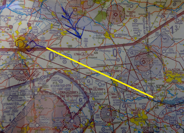
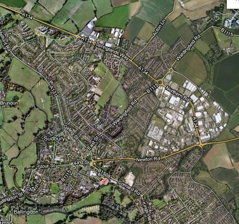
Chart: Cambridge to Sywell
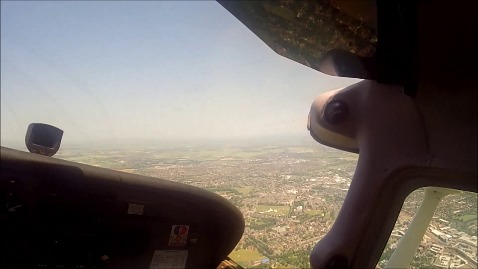
Climbing out
The wind was very strong and it seemed to take forever to get the plane up in the air – once there it was all over the place for the first 1,000ft. Looking back, the runway was still behind us, so it’d been quite straight, amazing.
My flight plan started at point alpha, so it was a manual flight to there, with a turning climb to 2,500ft.
The heading required was 276 degrees magnetic, being a bit clever (for once) I managed to line it up so that we crossed the starting checkpoint on 276 degrees. This meant there was nothing more to do then start the clock – the more you can reduce the work load, the better.
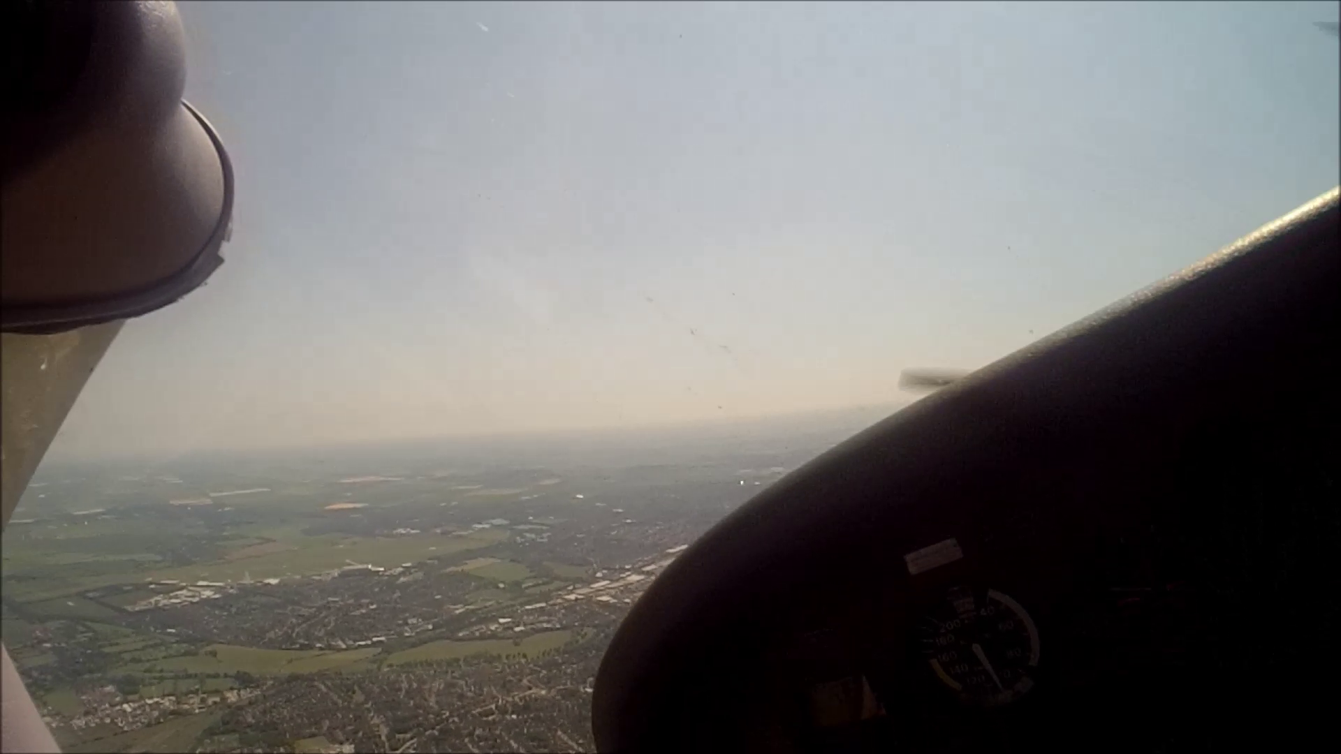
Switching radio frequencies to Cambridge Approach, there technically wasn’t much more to do then count down the 8.5 minutes to Grafham water. Of course this is never the case, there are gross error checks, FREDA checks, thinking about what radio frequencies you’re going to need next and generally keeping an eye on if you’re flying where you expected to be flying.
Grafham Water, Wind farms & Airfields
There’s a lot to be said for wind farms, the person who invented them was probably a pilot because they are excellent features to navigate by. Though nothing quite beats a massive pool of water, massive pools of water are rare things, so when you can see one, the odds are you can positively fix where you are in the world.
A quick scan of the map and a look out of the window suggested we were passing an airfield to the left, it was the closest to us. So that would make it Little Staughton (or at least it should be), but who knows how big that might be, looking out to the south west was another airfield only this one looked much bigger having crosswind runways. Now the picture was coming together in my head, to the left is Little Staughton and the other one is Bedford. It all made sense in my mind, but when quized by my instructor I found myself doubting my own logic – if I was correct, why would he be asking me? etc.
I was correct, time to mark down the actual time of arrival. The nav. log I’d done was actually holding up, plus about 30-45 seconds. Good stuff. What I must remember to do at these checkpoints is automatically do a FREDA and think about the Time, Talk, Task sequence – otherwise it all gets a bit casual.
With Grafham on our right and Bedford Airfield on the left, things were looking good – but that is more than could be said for the weather!
Ahead was a big rain cloud, we might be diverting around it for real if it didn’t move south sharpish. Meanwhile the cloud base was coming down, forcing the flight down from 2,500ft to more like 2,300ft AMSL.
Given the conditions my altitude holding wasn’t too bad, but when it drifted it was taking to long to spot and I suspect the additional loading of worrying about finding the airport, checking and rechecking the map and log, may have resulted in the altitude not being in my scan quite as often as it should have been.
I’d marked on my nav log to contact Sywell around the east edge of Rushden (~6 miles outside of their ATZ).
Aerodrome Traffic Zones & Different elevations of Terrain.
The flight was coming down in altititude and on a typical cruise, you cruise along with the altimeter (posh name for a calibrated barometer in this case) set on QNH, this means the number on the dial is telling you your altitude with respect to the pressure at sea level. If the pressure was to drop and you didn’t reset it you’d fall victim to the saying “High to Low, Down you Go.”
However, the other catch with flying along using an altitude above sea level is that where an aerodrome has an Aerodrome Traffic Zone (ATZ) around it, airspace you cannot enter. The dimensions of an ATZ are surface to 2,000ft above the surface. If the elevation of the ground ahead of you is higher, then you can be in danger of flying straight into the ATZ.
A picture speaks a thousands words, so a quick picture of what I mean:
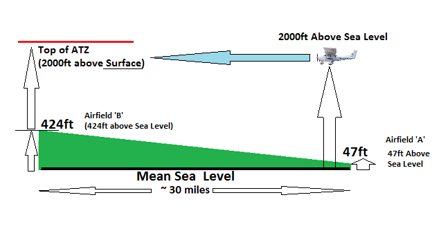
QNH / QFE: ATZ Airspace
You should be able to see the problem for someone cruising along and thinking they’re going to fly over ATZ by a couple hundred feet or so. However, I was going to this ATZ with an intent to land in it, what’s the problem?
My problem was that the circuit is flown at 1,000ft above ground level, instead of being about to overfly the airfield at ~2,000ft above the ground, I was actually about to lose a ‘virtual’ 500ft of height. Once I turned the dial on the altimeter from QNH to QFE it would drop to ~1,5000ft. Remember the circuit is flown at 1,000ft, so all it takes is another student to be having their first solo or be wondering a few hundred feet above the circuit height for similar daft reasons and we no longer have much vertical separation.
Sure I know all this and outside of the airplane I can do the theory, but on the day, it hadn’t dawned on me at all to think I was going to loose ~500ft due to the difference in elevations from where I took off to where I wanted to land……..but you do learn quickly from your mistakes 🙂
The Rain Strikes
We’d just about got away with it when the heavens opened up on us, all of about 3 miles to the ATZ, visibility was bordering zero – but by this I mean you could see you were above the ground, but where the heck was the airfield that was just minutes away???
I then said the stupidest thing ever:
Do you want me to descend out of this rain?
Hmmm, think about it…
But it was a short burst and then behold, a set of runways that look a lot like Sywell’s entry in the flight guide 🙂
Which runway?

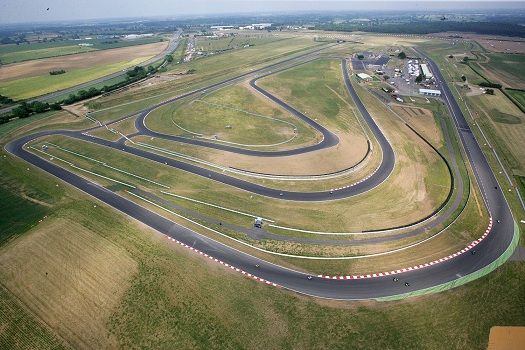
Sywell Airfield from South
I include that picture both to brighten up the post, but also because if you click it, have a look at the runways on the far side.
“Runway 23 in use, Left Hand Circuit”
Upon hearing that and glancing down to the left, my comment to the instructor was “I guess we’re landing on the grass then….”
Which was met with something along the lines of “Why, there’s a left and right, we’ll land on the concrete one on the right.”
I found myself looking at the numbers on the runway for the concrete runway, they clearly say “21”, how could 23 Right be marked “21”????? We’d find out.
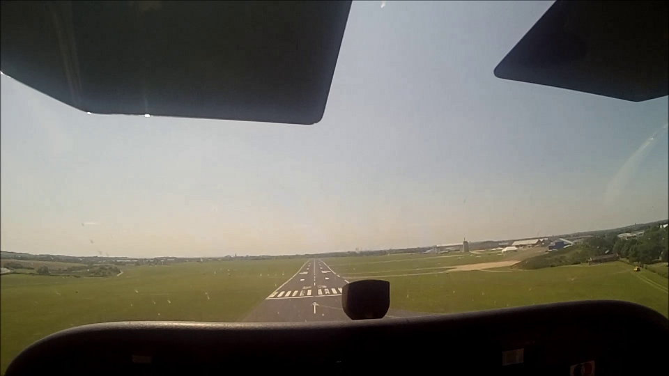
Descending deadside and flying the the circuit and announcing our position downwind to land, we were told to announce when we were on final. Turning off base and onto final approach the reported gusting winds didn’t seem all that bad, so I called final.
It was met with: “…….you’re lined up for runway 21 Right, active runway is 23. You can land on 21 if you want or go around.”
And there’s your answer: You can’t have a runway 23 marked as runway 21 (or at least not without some seriously big & quick shifting of the magnetic north pole). What had happened is essentially my instructor had heard what he’d expected to hear, runway 21, which is what they’d said was the active when I’d phoned for prior permission. Followed by my own inaction to challenge the answer that we wouldn’t need to land on the grass – arguably because that fitted with my subconscious desire to preference towards a concrete runway. Human Factors is a interesting topic (and I’ve passed the exam!).
The crosswind would be better/less on 23, so time to go around.
Lots to be thinking about now, so much so that I forgot to raise the flaps and climbed away with them fully extended – I was down wind before noticing. Downwind checks done and a radio call to let them know where we were, all that was left to do was land the thing on the grass.
Always check your runway lengths, before taking off I knew only that 21 was long enough for us. To be entirely honest at this point in time I actually had no idea if 23 was actually long enough for a Cessna 172. Hmmm, there’s a valuable lesson to learned here beyond what box to tick on the theory! 🙁
With that in mind, I was pretty focused on touching down early and that came at the price of it being flat (it’s a developed habit). Still, considering the PPR call had said it might be gusting 30 knots, this was all nice enough.
Spot of Lunch and then Home
The airfield was very quiet due to the wind, anyone who’d been planning to come to Sywell today had bailed on the idea. So except for a small jet, we were the only plane in town today. Thanks to the trial lesson cancellation we had time to grab a coffee and some lunch. The trip here and the return flight home would cost £200, so lunch was in the noise and I paid for my instructor as thanks for his patience with my flying 🙂
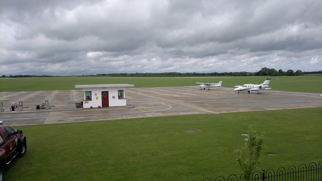
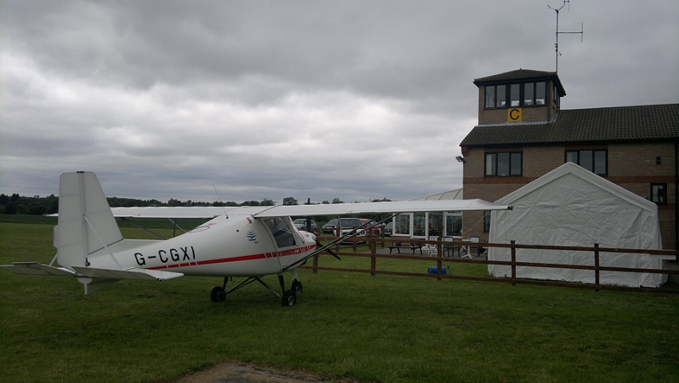
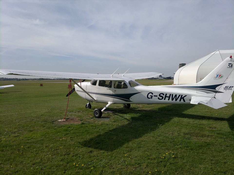
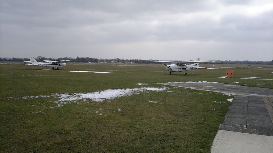
Sywell Airfield: G-HERC Parked up.
The GPS never lies…..
My instructor had been recording the flight on his GPS/Skydemon setup the entire way, now it was time to go over the verdict of how the flight was getting here.
I’ll save you the detail, but essentially it was pretty spot on the track I’d intended to follow, altitude holding was about there. The general comment just being to watch it a bit more often in the scan so I didn’t let it drift for so long.
Over lunch my instructor accepted the runway mix-up was his fault & I accepted I should have challenged him harder on it. It was fine and you learn more from the experiences of when things don’t go smooth, so just another good experience really.
Time to fly home
Walking out to the plane my instructor remembered something, I’m so used to flying at Cambridge which has a tower that provides an Air Traffic Control service. That when I came into land, I automatically replied to a radio call on final with “Cleared to Land”. At Sywell, this is wrong, they provide an Air Traffic Information Service. An information service cannot give clearances to do anything, they can only give you information and the decision & responsibility for action remains squarely with the pilot in command. I knew this was the case, it just hadn’t gone through my head on final.
Now however, it was time to start it up, get airfield taxi & information.
Then it was just a matter of reaching behind the seat for a map of where the holding points were and we were off to line up for Runway 23.
Is this runway long enough to get airborne?
Arrrgh, it may have read like I thought about that question when we were coming into land, but this is the moment when I realised I’d never actually looked at 23’s runway lengths in my prep. We’d been joking about what my day job involves and the shear amount of testing that goes into the products that are the net result of years of effort, so it seemed only fitting to reply
There’s only one way to be sure a runway is long enough……and that is to test it.
I totally accept that this is in the book of words and is what has been done to certify a Cessna 172, I doubt very much he’d have let me line up here if it wasn’t, but valuable lesson learn’t. You can see why if you prep for the best case scenario and then get sent off to a unexpected runway, you might at this point take a “well we’re here now, might as well press on” approach, which if it wasn’t a well known airfield etc. you could see how this next bit could end in tears!
Thankfully the gods of lift chose to let us get airborne 🙂
Nearly taking the ‘long way round’ to get to my starting point for the nav. home I corrected it and then it was largely a matter of flying the same trip back home. On the plus side the visibility had improved.
Out of my Limits
On return to Cambridge I was allowed to fly the approach (we got a slightly random Right Base join), my instructor said I could keep flying it and he would decide who would land it when they read out the surface winds.
On final as the tower called out the surface wind, it was well out of my limits, I didn’t need them to tell me actually, the entire approach the plane had needed to be nearly 50-60 degrees to the right just to keep flying straight towards the runway.
The instructor took over a few hundred feet from the runway and I’m sure he did a very good job in difficult wind but we slammed into the runway. If that was his landing, god help what mine would have looked like!!
All switched off and back in the aero club there was talk of someone having an incident on the runway, so I guess others had found the crosswinds tricky to.
Another (Non-EGSC) airfield in the log book, yay! The debrief was generally all good, a few reminders of bits and pieces to watch, but no show stoppers, all happy with my nav. etc. Good times.
Next Lesson: Weather permitting etc. Solo Nav #1